Any property in Houston County, Georgia can be checked against the official flood map in a few minutes. FEMA's Flood Map Service Center at msc.fema.gov is the official source for the Flood Insurance Rate Maps created under the National Flood Insurance Program, and typing an address into it returns the flood zone designation and the map panel for that location. Georgia's Environmental Protection Division, as FEMA's Cooperating Technical Partner since 1999, develops and updates those maps for all 159 Georgia counties, including Houston. A property in the Special Flood Hazard Area, the zone with a 1 percent chance of flooding in any year, which FEMA labels with zones such as AE, will typically require flood insurance as a condition of a federally backed mortgage, while a property in Zone X is outside that area and insurance is optional. Houston County's own land development regulations add a Flood Hazard District, the FH district, that restricts building in those areas.
This guide walks through the lookup step by step, explains what the zone letters mean, covers Houston County's floodplain rules and the creeks and river that shape its flood map, explains how an elevation certificate or a Letter of Map Amendment can change a lender's requirement, and sets out what sellers and buyers should do with the result. For what flood insurance costs in Houston County, see the separate post linked below.
How to Look Up a Houston County Address on FEMA's Map
1. Open the Flood Map Service Center
Go to msc.fema.gov and enter the property's street address in the search box. FEMA describes the Map Service Center as the official online location for all flood hazard mapping products created under the National Flood Insurance Program, including each community's flood map. The result shows the effective Flood Insurance Rate Map panel covering the address, the flood zone at the point searched, and links to download a FIRMette, a printable section of the official map centered on the property.
2. Read the zone
The result identifies the zone with a letter code. Zone AE, and the other zones that begin with A, are inside the Special Flood Hazard Area, the area that would be inundated by the 1 percent annual chance flood. Zone AE panels also show the base flood elevation, the height the water is expected to reach in that flood. Zone X without shading is an area of minimal flood hazard outside both the 1 percent and 0.2 percent floodplains, and shaded Zone X is the moderate-risk area between the two. A result that places the address in Zone AE means a lender on a federally backed loan will require flood insurance for any building there; a Zone X result means it will not, although FEMA notes that there is no such thing as a no-risk zone.
3. Check the map date and the structure's position
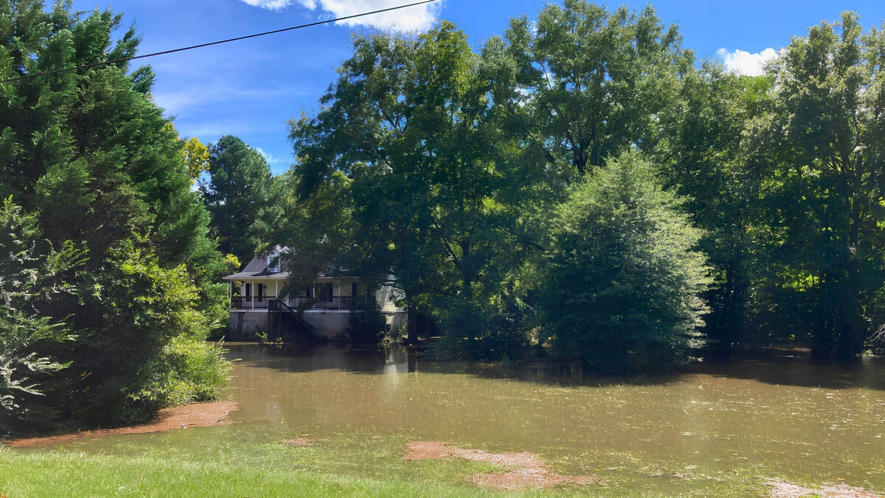
The FIRM panel carries an effective date, and Georgia EPD updates county maps on a rolling basis, so a result from an older panel may be superseded by a preliminary map that is not yet effective. The zone also applies to the point searched, which is usually the parcel's centroid or the address point, while the lender's question is whether the building itself sits in the high-risk area. On a large lot in rural Houston County, the creek at the back of the property can be in Zone AE while the house on the ridge is in Zone X, and the FIRMette, read against a survey, is what shows that.
4. Confirm with the county
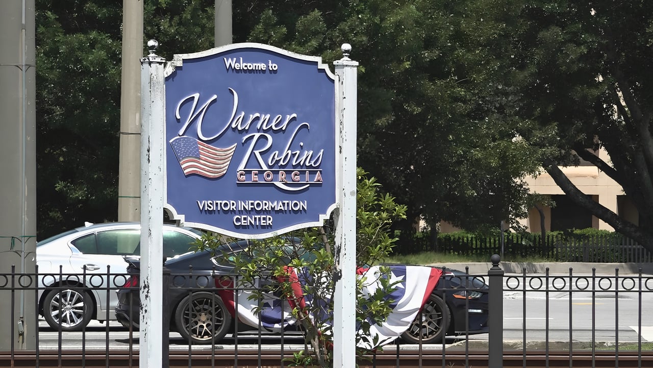
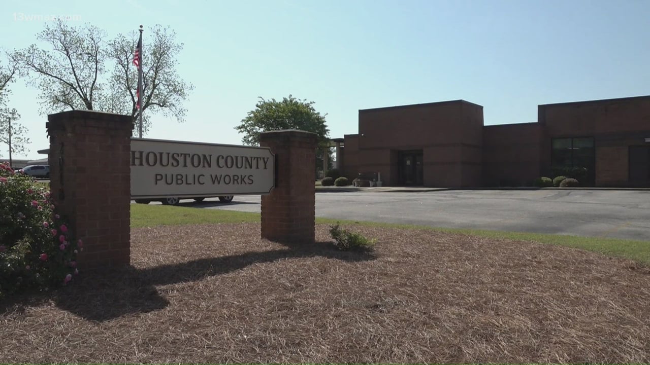
Every community that participates in the National Flood Insurance Program has a floodplain administrator who works with FEMA during the mapping process, and Houston County's floodplain function sits with its Building Inspection and Planning and Zoning office at the county annex, 200 Carl Vinson Parkway in Warner Robins. The county can confirm the effective panel for a parcel, whether a preliminary map is pending, and what the FH Flood Hazard District requires for any construction on the lot. Inside Warner Robins, Perry and Centerville, the city's floodplain administrator handles the same questions.
Houston County's Flood Hazard District and Its Waterways
The Comprehensive Land Development Regulations for Houston County establish an FH Flood Hazard District among the county's special districts, alongside the Planned Unit Development and Airport Hazard districts, and define the intermediate regional flood as a flood with a 1 percent chance of occurring in any year, representative of the large floods known to have occurred in the area. The FH district overlays the floodplains mapped on the county's FIRM panels and restricts development within them, so a building permit for a structure in the mapped floodplain involves the floodplain rules as well as the underlying zoning district.
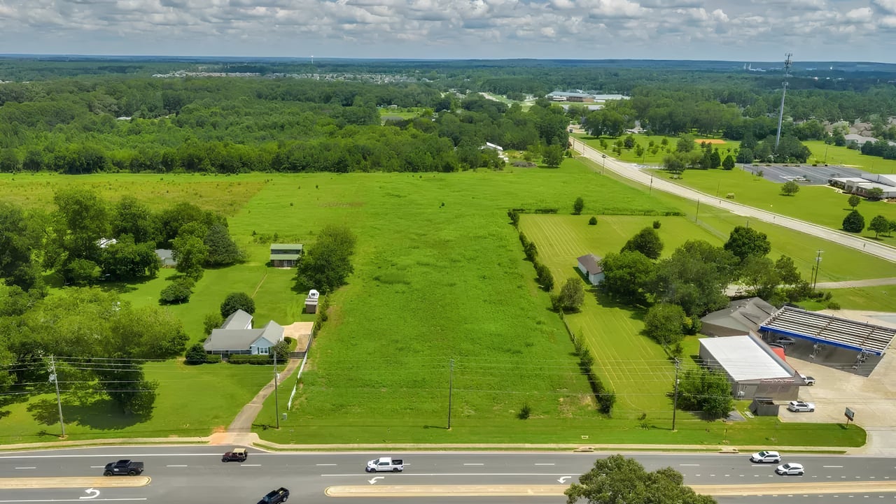
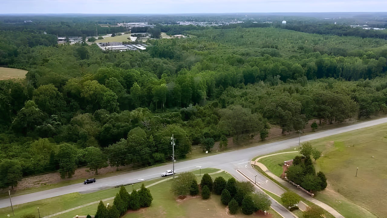
Houston County's floodplains follow its creeks and its eastern boundary. The Ocmulgee River forms the county's eastern edge, and the county's interior drains through creek systems such as Big Indian Creek through Perry, Bay Gall Creek through Warner Robins, and the creeks that feed Houston Lake and Tobesofkee Creek toward the Macon-Bibb line. The county's land development regulations, which define residential transitional and other special assessments and require plot plans to show drainage and water flow, reflect the role those drainages play in the county's development, and the mapped Special Flood Hazard Areas in Houston County cluster along them rather than across whole neighborhoods. Which side of a creek a specific lot sits on, and how far above it, is a parcel-level question the map answers.
Flood Zone Designations at a Glance
Zone | What it means | Flood insurance on a federally backed loan | Where it appears in Houston County |
AE | Inside the Special Flood Hazard Area; 1 percent annual chance flood, with base flood elevations shown | Required | Along the Ocmulgee River and the mapped creek floodplains |
A | Inside the Special Flood Hazard Area; 1 percent annual chance flood, no base flood elevation determined | Required | Smaller tributaries and areas studied by approximate methods |
Shaded X | Moderate risk; 0.2 percent annual chance floodplain, outside the 1 percent area | Not required; available | Fringe areas adjacent to the mapped floodplains |
X (unshaded) | Minimal flood hazard; outside the 0.2 percent floodplain | Not required; available | Most of the county's residential subdivisions |
D | Possible but undetermined flood hazard; no analysis performed | Lender discretion | Rare in developed areas |
What If the Map Is Wrong for My Lot?
Flood maps are drawn at a scale that can place a house in the Special Flood Hazard Area when the ground under it is higher than the base flood elevation. The remedy is an elevation certificate, prepared by a licensed surveyor, showing the elevation of the structure's lowest floor and adjacent grade relative to the base flood elevation on the FIRM. If the structure sits above the base flood elevation, the owner can apply to FEMA for a Letter of Map Amendment, which officially removes the structure from the Special Flood Hazard Area and lifts the lender's mandatory insurance requirement. The county's floodplain administrator can advise on the process and on whether a Letter of Map Revision based on fill, or a broader map revision, applies instead. The reverse also happens: FEMA states that updates to flood maps are a collaboration between the community and FEMA, and a map update can move a property into a higher-risk zone, which is why the panel date matters.
For Sellers: Do I Have to Disclose a Flood Zone in Georgia?
SELLER KEYWORD TARGETS: disclose flood zone when selling house Georgia / selling a home in Zone AE Houston County / flood history disclosure Georgia seller / elevation certificate selling house flood zone
Georgia's seller's property disclosure asks about flooding, drainage and whether the property is in a flood zone, and a seller who knows the answer must give it truthfully. A home in Zone AE is not unmarketable, but it sells better with the facts assembled: the FIRMette, any elevation certificate, the current flood policy and its premium, and the history of the lot in heavy rain. A seller who already carries a transferable NFIP policy has an asset to offer the buyer.
Before I list any home near a creek or the river in Houston County, I run the address through the Map Service Center and keep the FIRMette in the file, because the buyer's lender will do the same and I want the listing to match. If the home is in Zone AE and the seller has an elevation certificate showing the floor above the base flood elevation, that document can be worth thousands of dollars to the buyer in insurance and sometimes supports a Letter of Map Amendment, and I make sure it is in the disclosure package rather than in a drawer. If the home is in Zone X, I still note what the map shows and I do not describe the lot as flood-proof, because FEMA's own guidance is that no zone is risk-free and a buyer who floods in Zone X remembers who told them it could not happen.
For Buyers: What Should I Do With the Flood Zone Result?
BUYER KEYWORD TARGETS: buying a house in a flood zone Houston County GA / flood zone check before offer Warner Robins / Zone AE mortgage flood insurance required Georgia / flood zone due diligence Perry Bonaire / lot near creek Houston County buying
Run the address before you write the offer, read the zone against the survey during due diligence, and get a flood insurance quote early if any part of the lot is in the Special Flood Hazard Area. If the structure is in Zone AE, your lender will require coverage, and the premium is part of your monthly payment. If only the back of the lot touches the floodplain, an elevation certificate can establish that the house is above the base flood elevation. If the result is Zone X, consider optional coverage anyway for a home near a creek, since FEMA notes that properties outside the mapped high-risk area still flood.
I check the flood map for every buyer I work with, not just the ones looking at waterfront or creekside lots, because the map is free, it takes two minutes, and it occasionally surprises people on streets that look nothing like a floodplain. When the result shows Zone AE, I get the FIRMette, ask the seller for an elevation certificate, and have the buyer's insurance agent quote the policy before the due diligence period ends, so the number is in the budget rather than in the closing disclosure. When the result shows a preliminary map pending, I tell the buyer that the zone could change after closing, which affects the insurance requirement and the resale conversation. For lots along Big Indian Creek in Perry, the creeks around Houston Lake and the Ocmulgee side of the county, this is a standard step, and it is the one step that is easier to do before the contract than after.
Frequently Asked Questions About Flood Zones in Houston County
How do I find out if a house in Houston County, Georgia is in a flood zone?
Enter the address at FEMA's Flood Map Service Center, msc.fema.gov, which FEMA identifies as the official online source for flood hazard maps created under the National Flood Insurance Program. The result shows the flood zone at the address, the effective Flood Insurance Rate Map panel and a printable FIRMette. For confirmation, contact Houston County Building Inspection and Planning and Zoning at 200 Carl Vinson Parkway in Warner Robins, or the city's floodplain administrator for an address inside Warner Robins, Perry or Centerville.
What is the difference between Zone AE and Zone X?
Zone AE is inside the Special Flood Hazard Area, the area that would be inundated by the 1 percent annual chance flood, and the map shows a base flood elevation for it. Zone X is outside that area; unshaded Zone X is minimal flood hazard beyond the 0.2 percent floodplain, and shaded Zone X is the moderate-risk 0.2 percent area. A building in Zone AE requires flood insurance as a condition of a federally backed mortgage, while a building in Zone X does not, although FEMA notes that no zone is risk-free and insurance remains available.
Who makes the flood maps for Houston County?
FEMA, with the State of Georgia as its Cooperating Technical Partner. Under an agreement signed August 16, 1999, Georgia's Environmental Protection Division assumed responsibility for developing and updating the Flood Insurance Rate Maps on a countywide basis for all 159 counties, including Houston County, using FEMA grant funds. The county's floodplain administrator works with FEMA and EPD during the mapping process and shares local knowledge, and the effective maps are published on FEMA's Map Service Center.
What is the Houston County Flood Hazard District?
A special zoning district, labeled FH, established by the Comprehensive Land Development Regulations for Houston County alongside the Planned Unit Development and Airport Hazard districts. It overlays the mapped floodplains and restricts development within them. The regulations define the intermediate regional flood as a flood with a 1 percent chance of occurring in any year, matching FEMA's standard for the Special Flood Hazard Area. Construction in the FH district involves the county's floodplain requirements in addition to the underlying zoning district's rules.
Does a flood zone mean I have to buy flood insurance in Georgia?
If the building is in the Special Flood Hazard Area, zones beginning with A, and the mortgage is federally backed or from a federally regulated lender, the lender is required to make flood insurance a condition of the loan. If the building is in Zone X, the lender does not require it, although the owner may buy it, and FEMA encourages coverage because properties outside the high-risk area still flood. The requirement follows the building, not the lot, which is why an elevation certificate and a Letter of Map Amendment can remove it for a house that sits above the base flood elevation.
What is an elevation certificate, and do I need one in Houston County?
A document prepared by a licensed surveyor that records the elevation of a building's lowest floor and surrounding grade relative to the base flood elevation shown on the Flood Insurance Rate Map. It is used to rate flood insurance accurately and to support a Letter of Map Amendment when the structure sits above the base flood elevation. A buyer of a home in Zone AE in Houston County should ask the seller for an existing certificate or budget for a new one during due diligence; a home in Zone X generally does not need one.
How do I get my property removed from a flood zone?
By applying to FEMA for a Letter of Map Amendment with an elevation certificate showing that the structure, or the lot, is at or above the base flood elevation. If the amendment is granted, FEMA officially removes the property from the Special Flood Hazard Area and the lender's mandatory insurance requirement ends. Where fill was placed to raise the site, a Letter of Map Revision based on fill applies instead. Houston County's floodplain administrator can advise on which process fits a specific parcel, and the application is made to FEMA.
Which parts of Houston County are in flood zones?
The mapped Special Flood Hazard Areas in Houston County follow the county's waterways: the Ocmulgee River along the eastern boundary and the creek systems that drain the interior, including Big Indian Creek through Perry, Bay Gall Creek through Warner Robins, and the creeks around Houston Lake and toward Tobesofkee Creek near the Macon-Bibb line. They run along those drainages rather than across entire neighborhoods, so the designation for any specific lot depends on its position relative to the creek and must be read from the FIRM panel for that address.
Can a flood map change after I buy a house?
Yes. FEMA describes map updates as a collaboration between the community and FEMA, and Georgia EPD updates county maps on a rolling basis. A new panel can move a property into or out of the Special Flood Hazard Area, which changes the lender's insurance requirement and the policy's rating. The FIRM panel carries an effective date, and a preliminary map that is not yet effective may be published for review before adoption. Buyers should check both the effective and any preliminary panels and ask the county whether a map update is pending.
Does Houston County require a permit to build in a floodplain?
Construction in the mapped floodplain falls within the county's FH Flood Hazard District and requires a building permit from Houston County Building Inspection that addresses the floodplain requirements as well as the underlying zoning district. The county's plot plan requirements already call for a description of drainage and water flow and its effect on adjoining property for any lot. Inside Warner Robins, Perry and Centerville, the city issues the permit and administers its own floodplain rules.
Is flood insurance available for a home in Zone X in Houston County?
Yes. Flood insurance through the National Flood Insurance Program and private carriers is available for properties outside the Special Flood Hazard Area, typically at lower rates, and FEMA notes that there is no such thing as a no-risk zone. A home in Zone X near a creek in Houston County can still flood from heavy rain, poor drainage or nearby construction, which FEMA lists among the causes of flood damage outside mapped high-risk areas.
Does Georgia require sellers to disclose flood zones and flood history?
Georgia's standard seller's property disclosure asks about flooding, drainage and flood zone status, and a seller who knows the answers must disclose them truthfully. A separate Georgia bill on flood disclosure, House Bill 618, has been discussed in prior sessions; buyers and sellers should check the current status with their closing attorney. Regardless of the form, a buyer can verify the zone independently at msc.fema.gov in minutes.
About the Author
William Walton-Dean is a licensed REALTOR® with Walton Dean Realty, operating under Real Broker LLC, serving buyers and sellers across Houston County, Georgia, including Perry, Warner Robins, Bonaire, Kathleen, Byron, and the surrounding Middle Georgia housing market. He brings a data-driven, hyper-local approach to both residential and commercial transactions, working with first-time buyers, move-up sellers, investors, and families relocating to the area, including those tied to Robins Air Force Base. Drawing on a prior career as a C-level executive, he helps buyers and sellers at every price point make clear, confident decisions backed by real market insight.
📱 478-371-7069
Walton Dean Realty | Real Broker LLC
Buying or Selling Near a Creek or the River in Houston County? Let's Talk.
If you are buying a home near Big Indian Creek, Houston Lake or the Ocmulgee side of the county, or selling one in a mapped flood zone, I will pull the FEMA map, the elevation certificate and the insurance picture before you commit. I work with buyers and sellers across Warner Robins, Perry, Bonaire, Kathleen, Centerville and Byron.
William Walton-Dean | Walton Dean Realty
📱 478-371-7069
A More Strategic Approach to Real Estate
This article is provided for general informational purposes about flood zone determination in Houston County, Georgia and does not constitute legal, insurance or engineering advice. Flood zone designations are established by FEMA and Georgia EPD and may change; lender requirements are set by federal regulation and individual lenders; floodplain construction rules are administered by Houston County and its cities. Confirm the designation for a specific property at msc.fema.gov and with the applicable floodplain administrator, and consult an insurance agent and a licensed surveyor as needed. William Walton-Dean is a licensed REALTOR® with Walton Dean Realty under Real Broker LLC and is not an insurance agent, surveyor or engineer.